3D Laser Scanning To BIM Conversion For A Multizone Facility

3D Laser Scanning To BIM Conversion For A Multizone Facility

Enabled large-scale infrastructure digitization through laser scan data conversion to BIM, transforming complex point cloud datasets into coordinated LOD 500 digital twins for asset lifecycle management, facility modernization, and future expansion planning.

Client

US-Based Infrastructure & Township Development Operator

Category

Manufacturing

Location

India

Project Duration

4 Months

Software Tools


Engineering Requirement

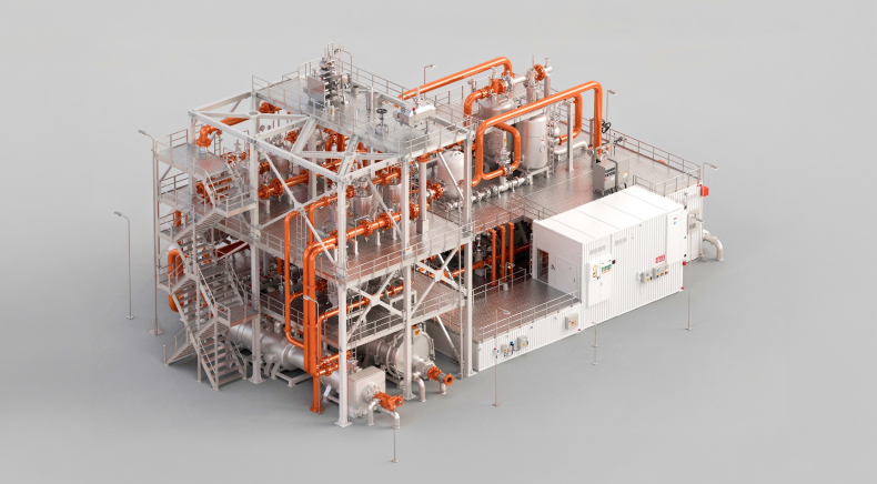
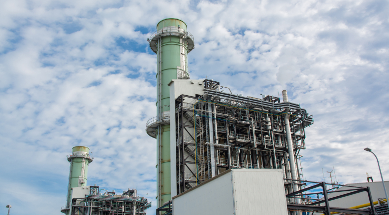
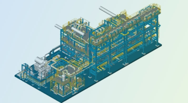
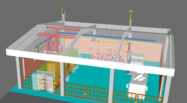
The client required the creation of a comprehensive digital twin for an operational 150+ acre multi-zone facility comprising industrial assets, institutional buildings, residential developments, commercial infrastructure, and associated utilities. The objective was to convert 3D laser scans to BIM by transforming extensive point cloud datasets into highly accurate Building Information Models that could serve as a single source of truth for asset management, renovation planning, facility upgrades, and future expansion initiatives.

Given the scale and complexity of the site, the project demanded disciplined point cloud processing, multi-disciplinary BIM coordination, topographical modeling, and intelligent asset data extraction. The client required accurate representation of architectural, structural, and MEP systems while ensuring clash-free coordination and compliance with LOD 500 standards.

Leveraging our experience in point cloud to 3D modeling, Rishabh Pro Engineering executed a structured scan-to-BIM workflow encompassing point cloud registration, conversion of point cloud data to BIM, BIM authoring, model validation, clash detection, and intelligent data extraction. Using our Autodesk Revit modeling services, we developed operations-ready BIM models that enabled the client to efficiently manage existing assets while supporting future redevelopment and infrastructure expansion initiatives.

Project Deliverables

Coordinated LOD 500 BIM Model

Architectural, Structural & MEP BIM Models

Topography & Site Context Models

Intelligent Asset Information & Schedules

2D Plans, Sections, Elevations & Details

Clash Detection & Coordination Reports

QA-Validated Digital Twin Models

Facility Management-Ready Documentation

Modern infrastructure digitization projects require specialized capabilities in laser scanning, point cloud processing, BIM coordination, and digital asset management. Through our point cloud to 3D modeling services, we help organizations convert 3D laser scans to building information models that improve asset visibility and efficiency. Combined with our Revit modeling specialization, we deliver intelligent BIM models that support maintenance planning, renovation projects, facility upgrades, and long-term infrastructure lifecycle management.

Want to know more about this project?

Let’s Build the Future of Engineering Together

Projects Showcase

Download Project Details

    We’ll ensure your privacy. Please refer our privacy policy for more details.
    * Please allow pop-up for the website so that the PDF document can open in new window.